Conservation Commission
Shelton, Connecticut

CRI MENU
- CRI Home
- Scenic Resources
- Historic Resources
- Ecological Resources
- Agricultural Resources
- Water Resources
Connecticut CRI Data for Shelton
 SCENIC
RESOURCES
MENU:
- Scenic - Home
- Housatonic River
- Water Resources (Other)
- White Hills Agriculture
- Agricultural (Other)
- Riverview Park
- Scenic Roads
- Downtown Shelton
- Other
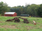 White Hills Agriculture
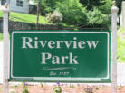 Riverview Park
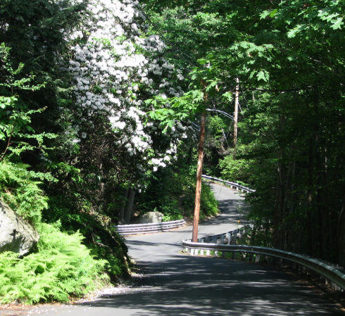
 Scenic Roads
Water Resources (Other)
Downtown Shelton
 Agriculture (Other)
Scenic Roads - Scenic Resource Inventory
Six roads, as noted below, have been officially designated as Scenic
Roads by the Board of Aldermen under Ordinance #649. The remaining roads
listed below are classified as Scenic by the Community Resources Inventory
Committee, but are not officially classified as such by the Board of
Aldermen.
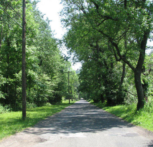
Birdseye Road (Designated Scenic Road)
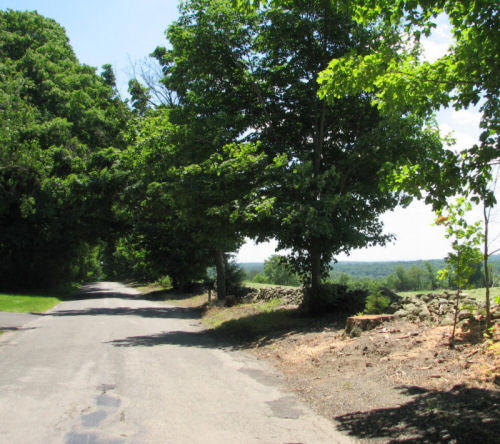 Set high on a hilltop with a 'birdseye' view of the surrounding terrain,
this road is lined with farmland, barns, stone walls, and mature trees.
Set high on a hilltop with a 'birdseye' view of the surrounding terrain,
this road is lined with farmland, barns, stone walls, and mature trees.
School Street (Designated Scenic Road)
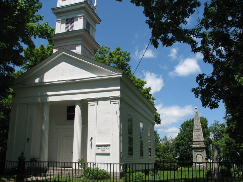 This short road is lined with stone walls, mature trees, farmland, and the
White Hills Baptist Church (1839) and burying grounds.
This short road is lined with stone walls, mature trees, farmland, and the
White Hills Baptist Church (1839) and burying grounds.
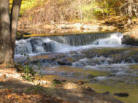
Mill Street (Designated Scenic Road)
Located off of Bridgeport Avenue and Buddington Road, this old mill road follows the Far Mill River and was once used to access mills on the river. Impressive waterfalls can be seen from the road.
Attributes: VIEW - Far Mill River. HISTORY- Colonial roadway. FEATURES - River with waterfalls, historic homes including an old mill converted to a home.Lane Street (Designated Scenic Road)
 Located off of Huntington Street near Huntington Center.
Pearmain Road (Designated Scenic Road from the end of the paved portion west approximately 3500 feet)
 Pearmain Road is located in the White Hills off of Birdseye Road and south
of Leavenworth Road (RT 110). A portion of Pearmain Road is unpaved and
accessible by 4-wheel-drive vehicles, bicycles or by foot.
Pearmain Road is located in the White Hills off of Birdseye Road and south
of Leavenworth Road (RT 110). A portion of Pearmain Road is unpaved and
accessible by 4-wheel-drive vehicles, bicycles or by foot.
Burritt's Ground Road (Designated Scenic Road)
 Burritt's Ground Road is actually a section of the road variously known as
Indian Well Road or Birchbank Road, located along the Housatonic River
north of Indian Well State Park. Many maps will not show this section of
road as Burritt's Ground Road. If one is traveling north on Indian Well
Road, the Burritt's Ground section begins where the road crosses the
railroad tracks, and ends after approximately 3,000 ft, when the road name
switches to Birchbank Road. Burritt's Ground Road is lined with
undeveloped properties including wellfields operated by Aquarion and City
of Shelton Open Space.
Burritt's Ground Road is actually a section of the road variously known as
Indian Well Road or Birchbank Road, located along the Housatonic River
north of Indian Well State Park. Many maps will not show this section of
road as Burritt's Ground Road. If one is traveling north on Indian Well
Road, the Burritt's Ground section begins where the road crosses the
railroad tracks, and ends after approximately 3,000 ft, when the road name
switches to Birchbank Road. Burritt's Ground Road is lined with
undeveloped properties including wellfields operated by Aquarion and City
of Shelton Open Space.
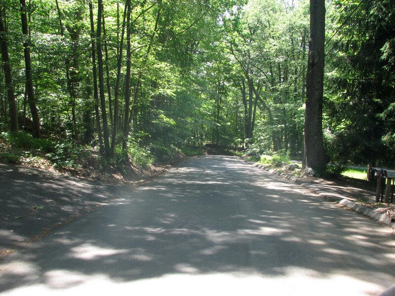
Long Hill Avenue
From Long Hill School south to Laurel Wood Drive, Long Hill Avenue is marked by stone walls and agricultural lands.
Attributes: VIEW- Farmland. HISTORY - This is one of the older roads in Shelton. PASSIVE RECREATION - walking. FEATURES - ??Walnut Tree Hill Road
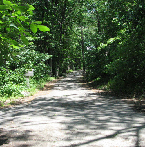
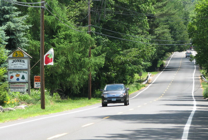
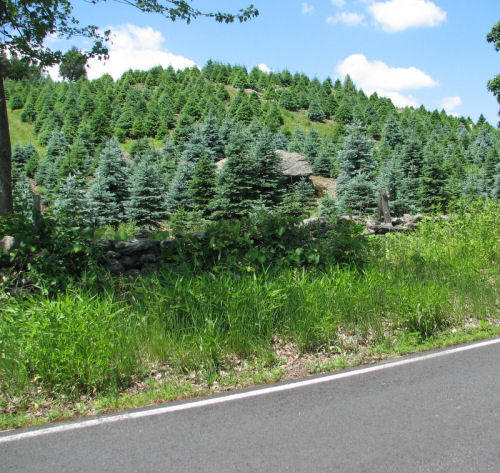 This old road is lined with stone walls and is bordered by Jones Family
Farm and Fairview Farm.
This old road is lined with stone walls and is bordered by Jones Family
Farm and Fairview Farm.
Soundview Avenue (Maple to Meadow)
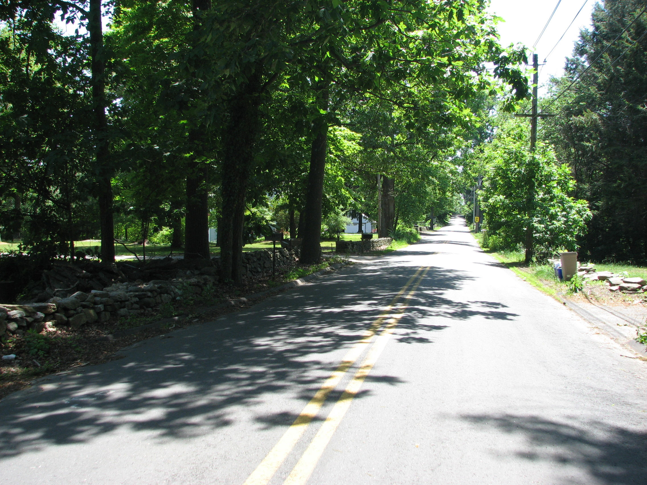 This section of Soundview Avenue is lined with stone walls and sugar
maples.
This section of Soundview Avenue is lined with stone walls and sugar
maples.
Village Drive (Upper Portion)
Exactly what does 'upper portion' mean?Vistas.
Attributes: VIEW - Vistas looking towards the Housatonic River Valley."Four Corners" (Mohegan/Booth Hill Roads)
Stone walls.Attributes: VIEWS. FEATURES - Stone walls.
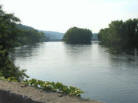
Route 110 (River Road): Southbank Park to Boat Yard
This portion of River Road has vistas of the Housatonic River.
Attributes: VIEW - Vistas. FEATURE - Housatonic RiverRoute 110 (Leavenworth Road): Monroe to Indian Well
 Vistas of farmland.
Attributes: VIEW - Forest and farmland. HISTORY -?? PASSIVE RECREATION - ?? FEATURES - Cattle underpass at Nicholdale Farm.
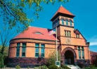
Huntington Street
Traveling north on Huntington Street, one first passes scenic Trap Falls Reservoir, then a series of historic homes and a scenic crossing of the Far Mill River with associated mill ruins. Arriving at Huntington Center, one sees the Fire Station, historic cemetery, and the old Town Green lined with classic New England Churches.
Attributes: View- Trap Falls Reservoir, Huntington Green. History - Major historical route, mill ruins, historic homes, Huntington Green & cemetery.Indian Well Road.
 As it passes through Indian Well State Park, this road is lined with
stonework said to have been built during the Great Depression as WPA
projects. The bridge over Indian Hole Brook is constructed of field stone
and was built in 1910. North of the state park, there are seasonal vistas
of the Housatonic River. The entire length of the road is bordered by
state or local parkland.
As it passes through Indian Well State Park, this road is lined with
stonework said to have been built during the Great Depression as WPA
projects. The bridge over Indian Hole Brook is constructed of field stone
and was built in 1910. North of the state park, there are seasonal vistas
of the Housatonic River. The entire length of the road is bordered by
state or local parkland.