Conservation Commission
Shelton, Connecticut
 OPEN
SPACE MENU
OPEN
SPACE MENU
Open Space Links
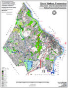
Open Space Map (3mb)
City of Shelton Open Space Marker
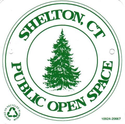
This marker is used to identify Public Open Space owned by the City of Shelton. It does not mark the exact location of the property line and may be as much as 100 feet away from the boundary, depending on site conditions. The Conservation and Pedestrian Easements markers have a similar look but different text.
Land Trust Marker

The Land Trust is a private, non-profit group that owns 364 acres of open space in Shelton, marked with these signs. People frequently confuse the Land Trust with the City of Shelton.
Wetlands Marker
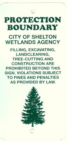
These rectangular wetlands marker may be found in some newer subdivisions, usually on 4x4 posts. They mark the location of areas regulated by the Shelton Inland Wetlands Commission. These are generally on private property and are not related to open space.
OS 5 Kazo Drive (Map 15 Lot 4) 0.94 ac.
 This
open space is almost entirely comprised of red maple swamp. The property
appears to have been originally intended as a building lot prior to the enactment of
wetland protection regulations, but was ultimately acquired by the City in
1992 for backtaxes.
This
open space is almost entirely comprised of red maple swamp. The property
appears to have been originally intended as a building lot prior to the enactment of
wetland protection regulations, but was ultimately acquired by the City in
1992 for backtaxes.
Maps and Photos
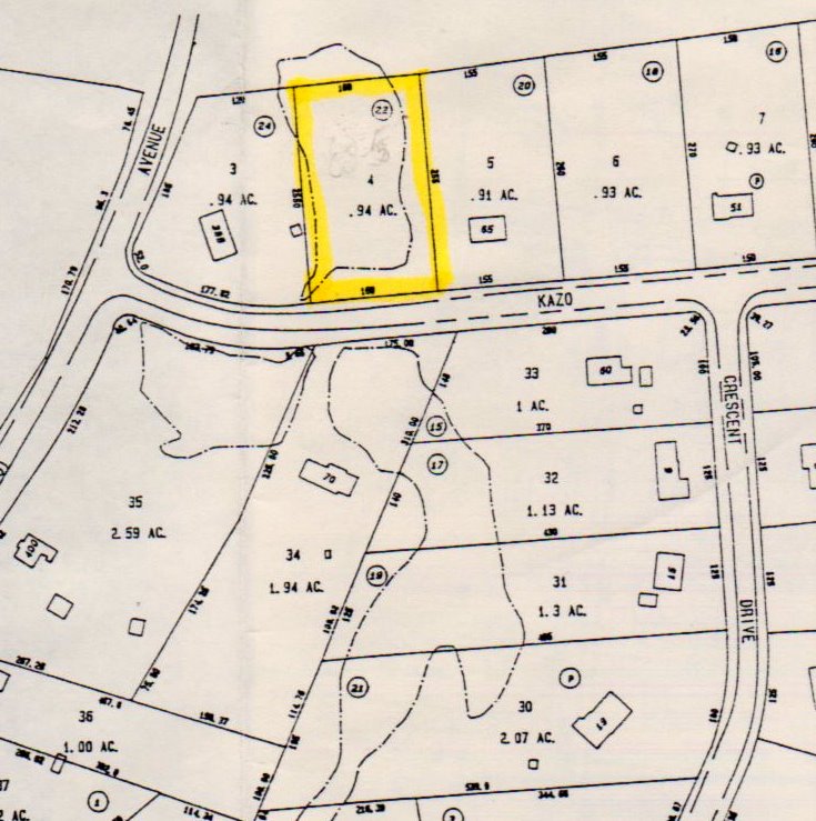 Tax Accessor's Map
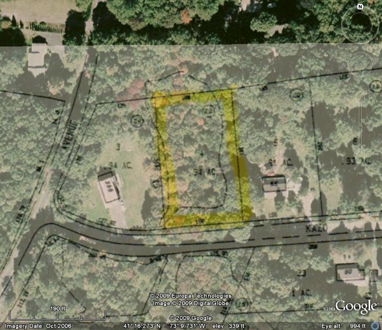 Tax Accessor's overlay on aerial.
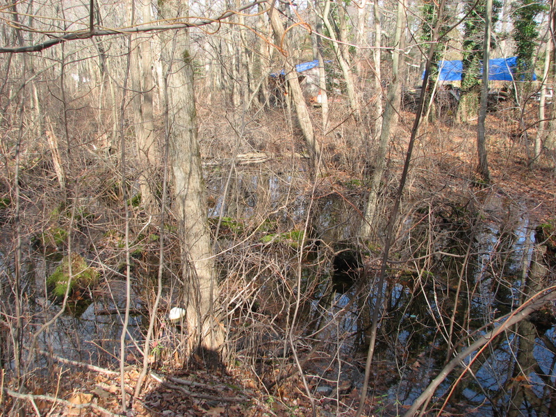
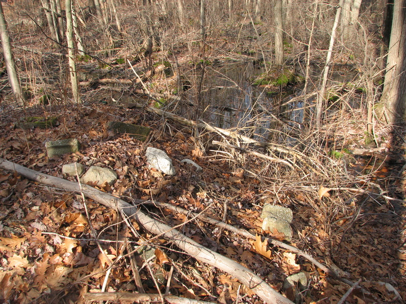
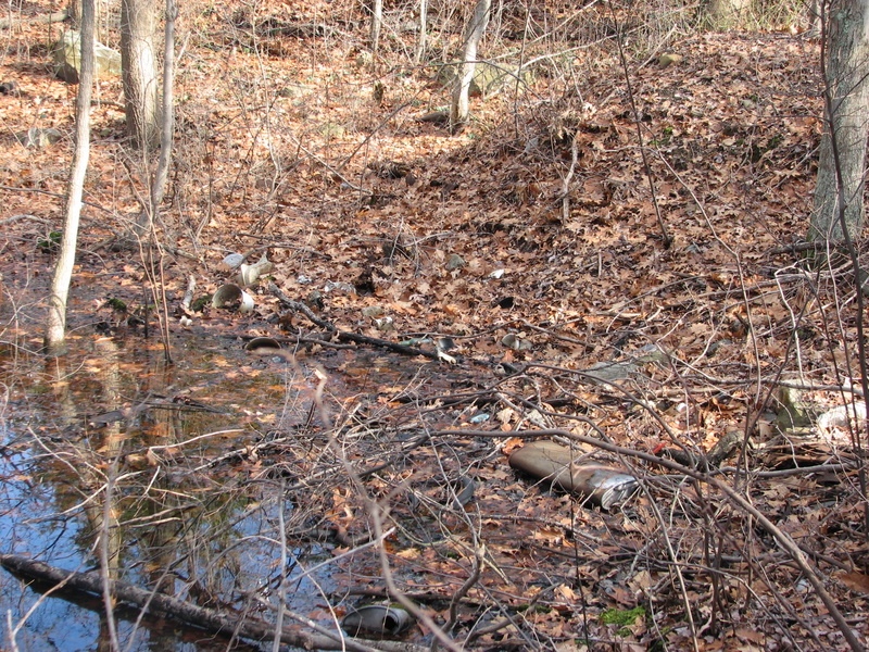 The site is wet.
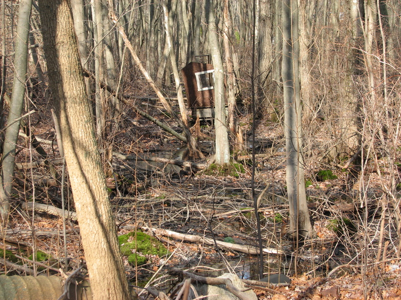
 Old piles of dirt and rock along the roadway.
Deed Information
 The filed map (#200, 1954) is so old it doesn't show metes and bounds.
Note the property is described as "100% swamp" on the map. The lot to
the west was also described as "All swamp" but was filled in and
developed back before there were wetland regulations.
The filed map (#200, 1954) is so old it doesn't show metes and bounds.
Note the property is described as "100% swamp" on the map. The lot to
the west was also described as "All swamp" but was filled in and
developed back before there were wetland regulations.
Deed in found at Book 1109 Page 135, November 10, 1992. Property was acquired from the estate of Mary Kazo in lieu of taxes.