Conservation Commission
Shelton, Connecticut
 OPEN
SPACE MENU
OPEN
SPACE MENU
Open Space Links
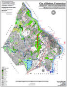
Open Space Map (3mb)
City of Shelton Open Space Marker
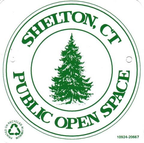
This marker is used to identify Public Open Space owned by the City of Shelton. It does not mark the exact location of the property line and may be as much as 100 feet away from the boundary, depending on site conditions. The Conservation and Pedestrian Easements markers have a similar look but different text.
Land Trust Marker

The Land Trust is a private, non-profit group that owns 364 acres of open space in Shelton, marked with these signs. People frequently confuse the Land Trust with the City of Shelton.
Wetlands Marker
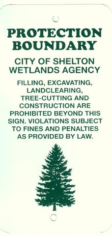
These rectangular wetlands marker may be found in some newer subdivisions, usually on 4x4 posts. They mark the location of areas regulated by the Shelton Inland Wetlands Commission. These are generally on private property and are not related to open space.
OS 3, 9 and 74 with LT 1 Hidden Pond (13 acres)
Hidden Pond Lane, September Lane, Honeybee Lane
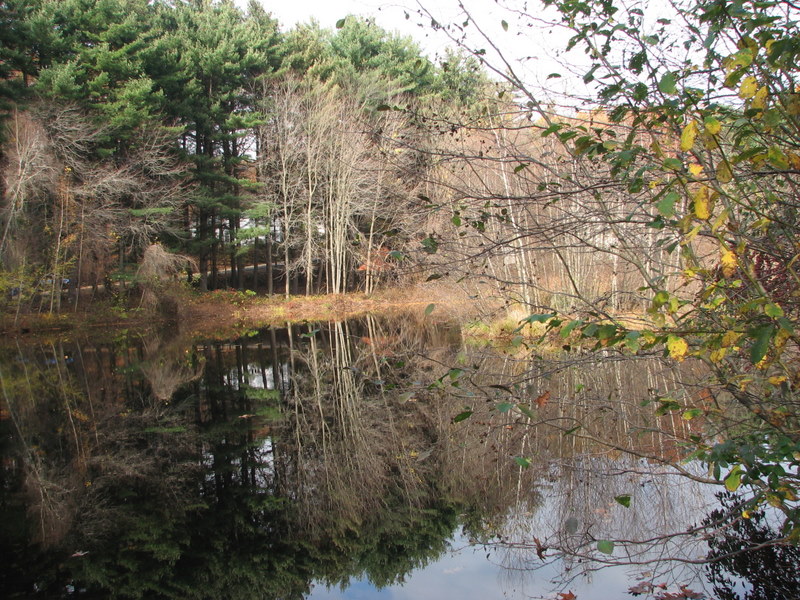 Features: Hidden Pond is half pond, half
cattail marsh. The southern tip of the pond is located in Trumbull
open space and there is a short fishing access trail on the town
line. North of the pond, unmarked trails lead from a large
grove of white pines at the edge of the marsh, and cross an attractive brook. The cattail marsh has exceptional wildlife
value and there are marsh marigolds at its edge. See an
airplane photo of the pond and marsh.
Features: Hidden Pond is half pond, half
cattail marsh. The southern tip of the pond is located in Trumbull
open space and there is a short fishing access trail on the town
line. North of the pond, unmarked trails lead from a large
grove of white pines at the edge of the marsh, and cross an attractive brook. The cattail marsh has exceptional wildlife
value and there are marsh marigolds at its edge. See an
airplane photo of the pond and marsh.
These properties are contiguous with property owned by the Shelton Land Trust designated as LT 1.
Access: From Hidden Pond Road. There are no official trails on this property and the stream is difficult to cross.
Maps and Photos (click to enlarge)
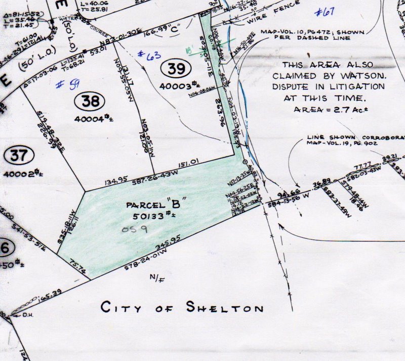
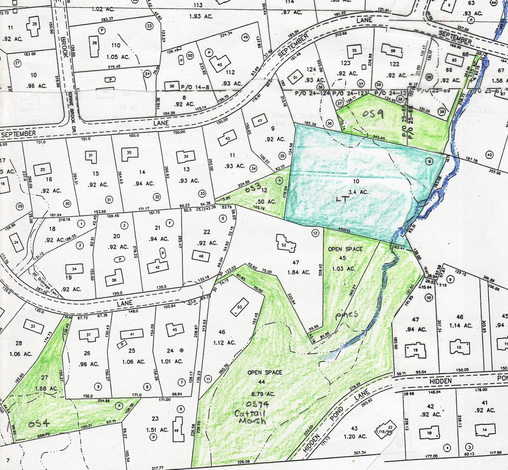 Shelton Tax Accessor's Map.
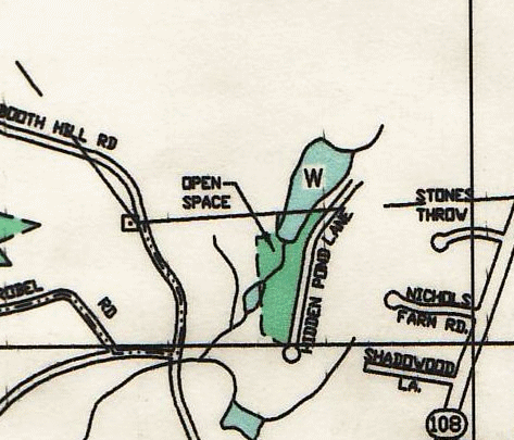 Trumbull Open Space Map, 2006.
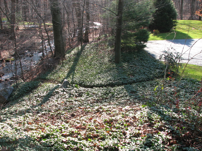
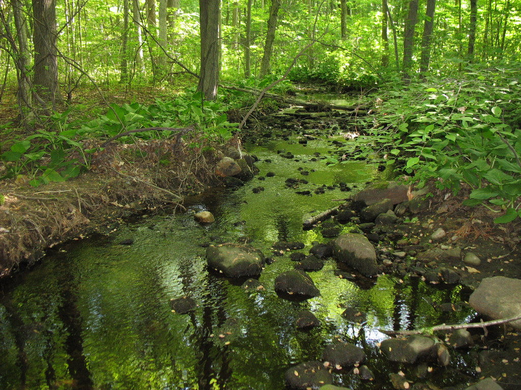 OS 74 - Brook.
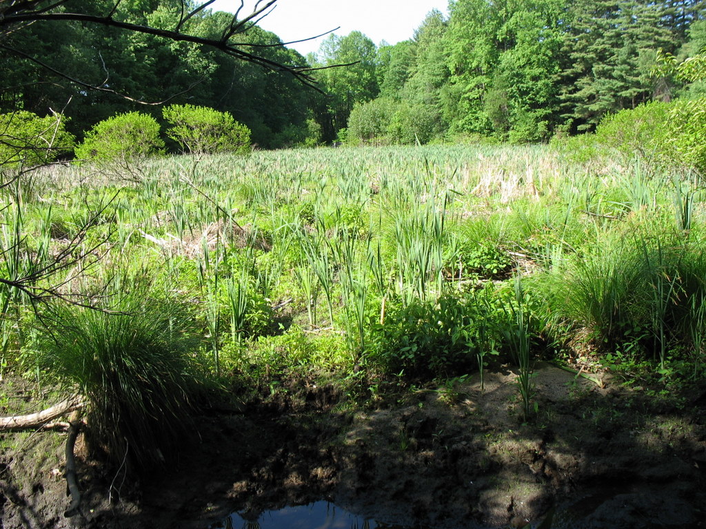 OS 74 -
Cattail Marsh.
OS 74 -
Cattail Marsh.
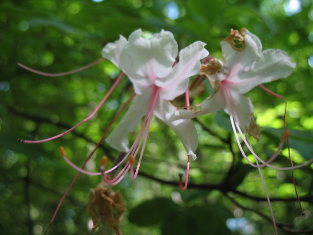 OS 74 - Wild Pink Azalea (Pinxter Flower).
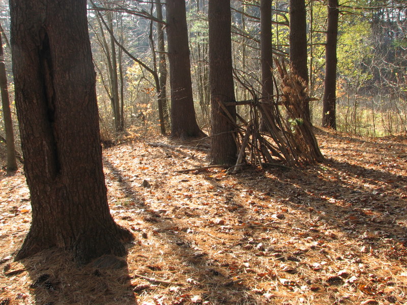 OS 74 -
Pine grove on the edge of the marsh.
OS 74 -
Pine grove on the edge of the marsh.
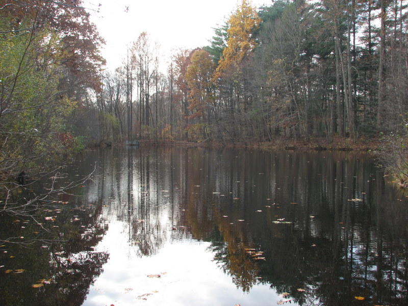 OS 74 -
Hidden Pond, looking towards Trumbull.
OS 74 -
Hidden Pond, looking towards Trumbull.
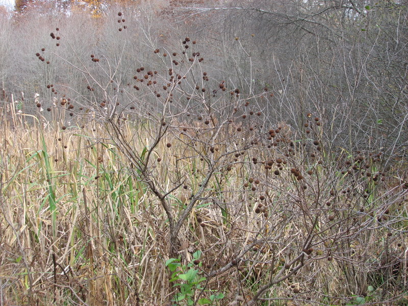 OS 74 -
Button bush on the edge of the pond and cattail marsh.
OS 74 -
Button bush on the edge of the pond and cattail marsh.
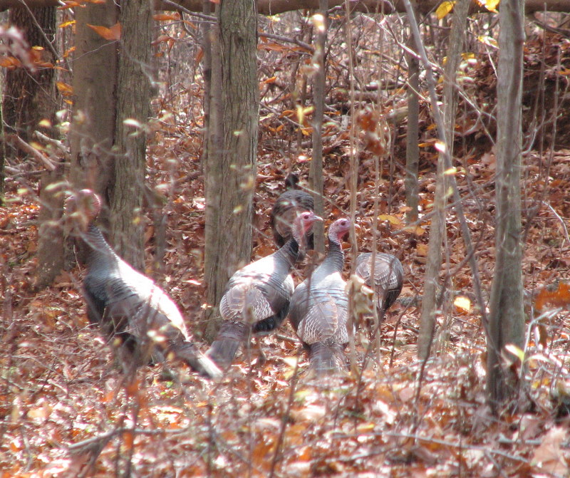 OS 74/ LT 1 -
Turkey and deer are abundant.
OS 74/ LT 1 -
Turkey and deer are abundant.
 OS 9 - Narrow strip leading from September Lane is not used for access
at this time.
OS 9 - Narrow strip leading from September Lane is not used for access
at this time.
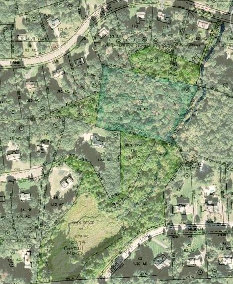 Tax
Accessor's Map overlay on aerial.
Tax
Accessor's Map overlay on aerial.
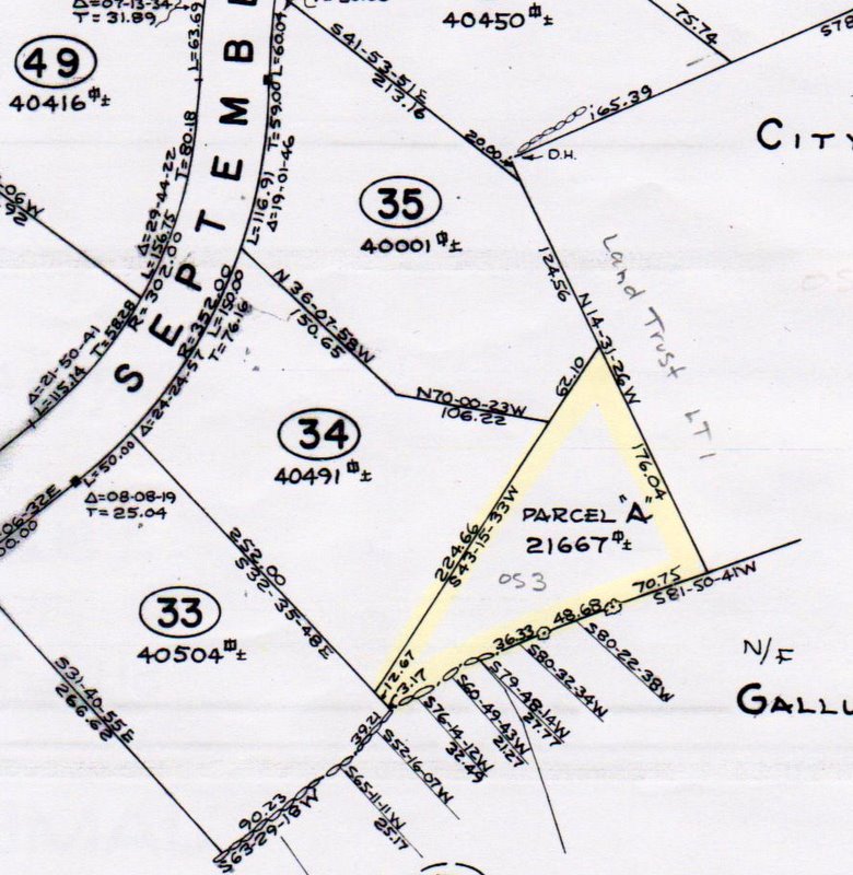 Filed Map for OS 3
 Filed Map for OS 9
Deeds and Filed Maps
OS 3: Deed recorded at Volume 340 Pg 280 October 1977. Property acquired from Bargas Construction / Honey Hill subdivision for $1. There are no restrictions in the deed. Reference made to "unrecorded map entitle 'Honey Hill, Section Four, A Subdivision of Land in Shelton, Connecticut, July 7, 1977.'" Map was later filed at Volume 27 pg 1427 with this parcel identified as Parcel "A" and the note: "Parcels 'A' and 'B' to be deeded to the City of Shelton for open space use."OS 9: Same as OS 3 except this is "Parcel B."